High-precision photogrammetry for digital twins and 3D reconstruction
We scan reality to design with precision.
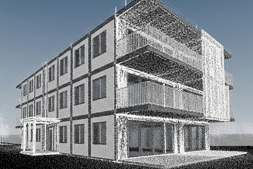
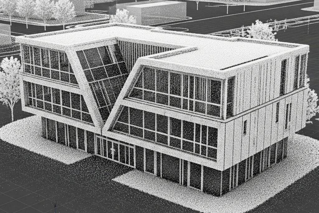
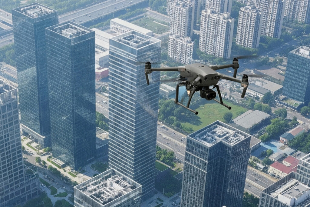
At Archiaf, we use photogrammetry to capture existing conditions with high accuracy and integrate them directly into our design and modeling workflows. Whether it’s an industrial site, a heritage building, or an irregular urban void, scanning the real context allows us to design with certainty, not assumptions.
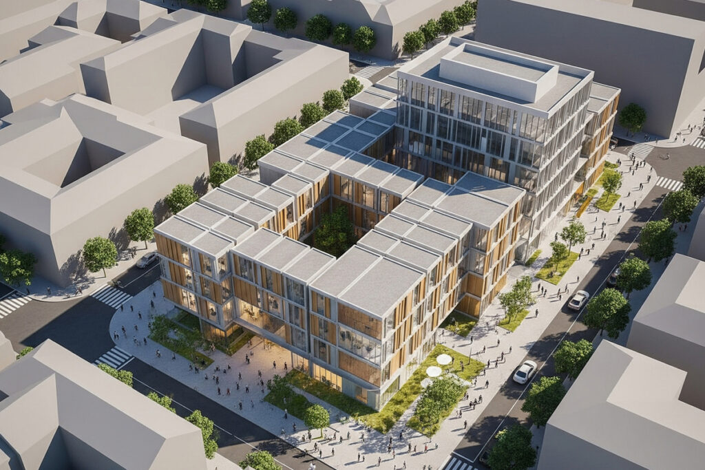
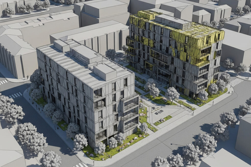
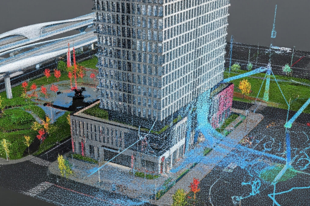
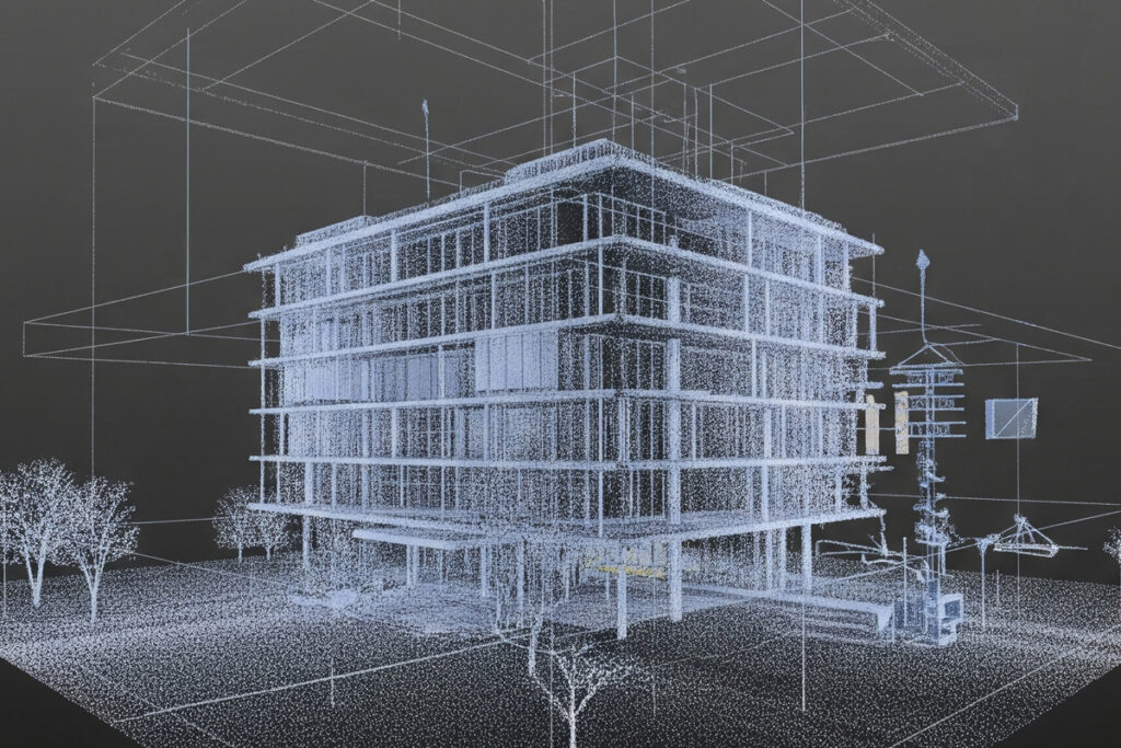
We transform point clouds into high-resolution 3D models that serve as the foundation for:
Renovation and adaptive reuse projects
Façade analysis and retrofitting
Complex site integration and topology-driven design
Historical documentation and digital twins
Precise BIM modeling from existing environments
By embedding photogrammetry into our pipeline, we eliminate guesswork, reduce on-site errors, and unlock new creative opportunities grounded in the physical reality of each project. What exists is no longer a limitation — it becomes design input.